Contact Us
Have any questions? We are always open to talk about your business, new projects, creative opportunities and how we can help you.
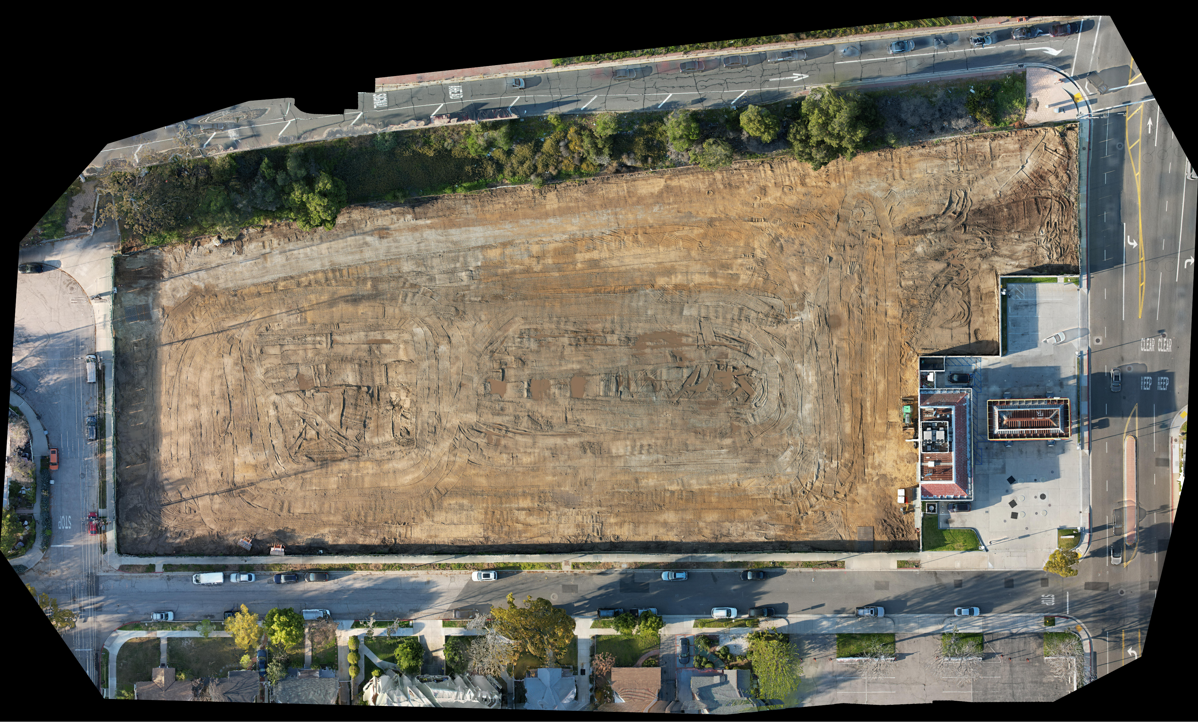
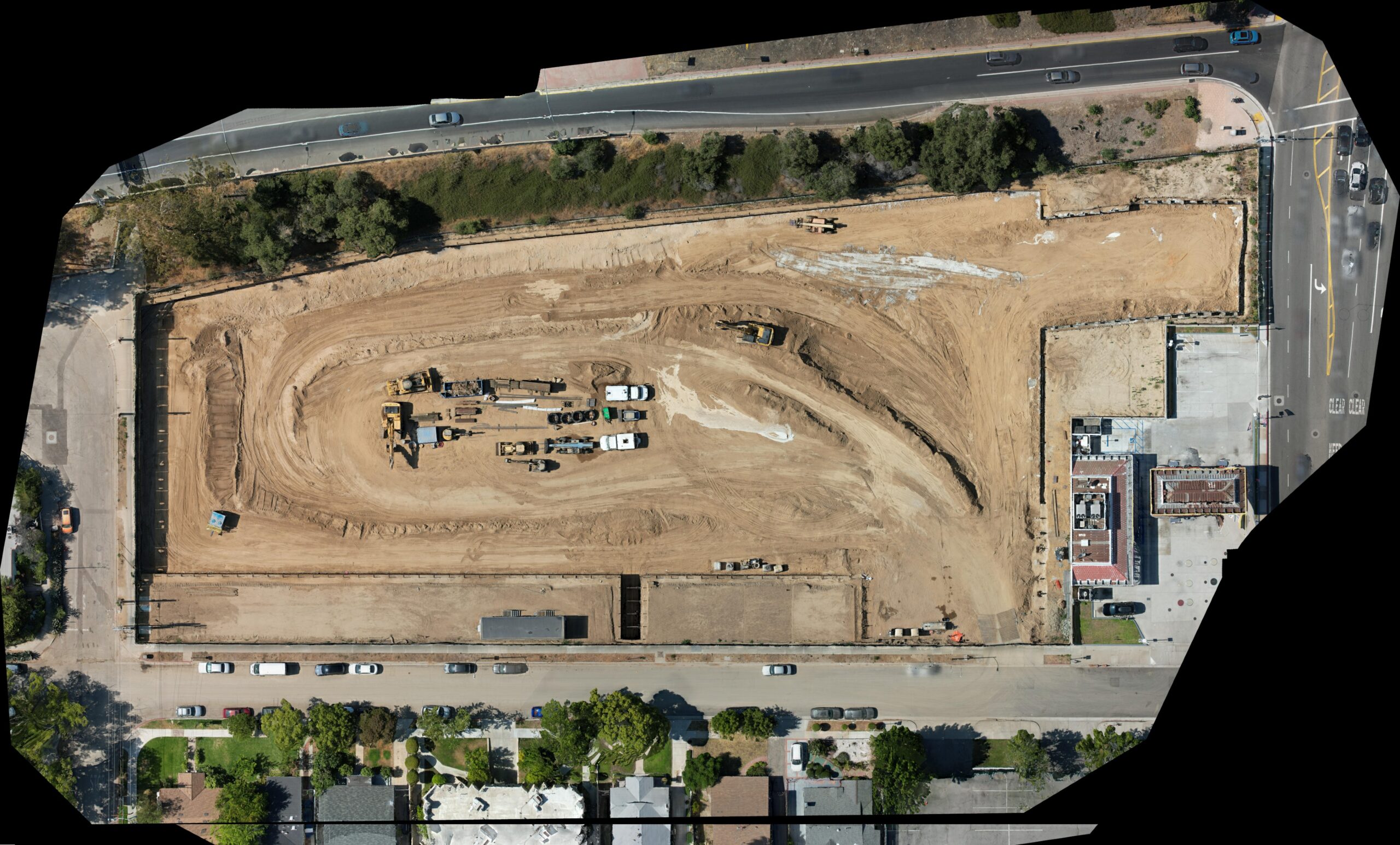
From high-resolution aerial photography to 3D modeling of the construction site, all are tools that can improve the progress monitoring process. Drones allow the project team to monitor and track progress from the sky and communicate with different stakeholders with visual evidence of the project’s progress.

From high-resolution aerial photography to 3D modeling of the construction site, all are tools that can improve the progress monitoring process. Drones allow the project team to monitor and track progress from the sky and communicate with different stakeholders with visual evidence of the project’s progress.


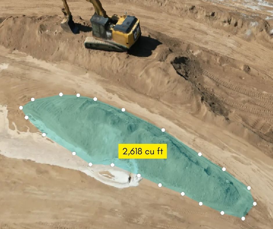
We offer Drone Volumetric Services (DVS) that allows making accurate measurements of stockpiles and excavations.
Using drones allows volumetric surveys to be completed in a fraction of time compared to conventional surveys, leading to lower costs and higher productivity.

Have any questions? We are always open to talk about your business, new projects, creative opportunities and how we can help you.