Contact Us
Have any questions? We are always open to talk about your business, new projects, creative opportunities and how we can help you.
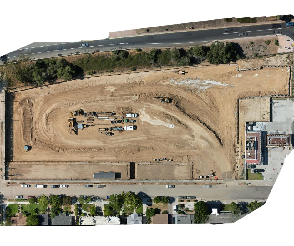
An orthomosaic map is a type of aerial map that is created by stitching together many overlapping aerial images taken by a drone, satellite or aircraft, and correcting for perspective distortions, camera tilt, and elevation differences to create a georeferenced and orthorectified image. The result is a highly detailed and accurate map with high resolution, where every pixel represents a true-to-scale point on the ground. Orthomosaic maps are commonly used in a variety of applications such as land surveying, urban planning, agriculture, natural resource management, and disaster response, among others.

3D mapping with drones involves using drones equipped with cameras or other sensors to capture images and data of an area from different angles and elevations. The images and data are then processed using specialized software to create a 3D map or model of the area. This technology has many applications, including in surveying, construction, agriculture, mining, and environmental monitoring.
To create a 3D map with a drone, the drone is flown over the area of interest, taking pictures or videos at regular intervals. The images are then stitched together and processed using photogrammetry software to create a 3D map.
Overall, 3D mapping with drones has many potential applications and is an increasingly popular tool for a range of industries and sectors.
Have any questions? We are always open to talk about your business, new projects, creative opportunities and how we can help you.